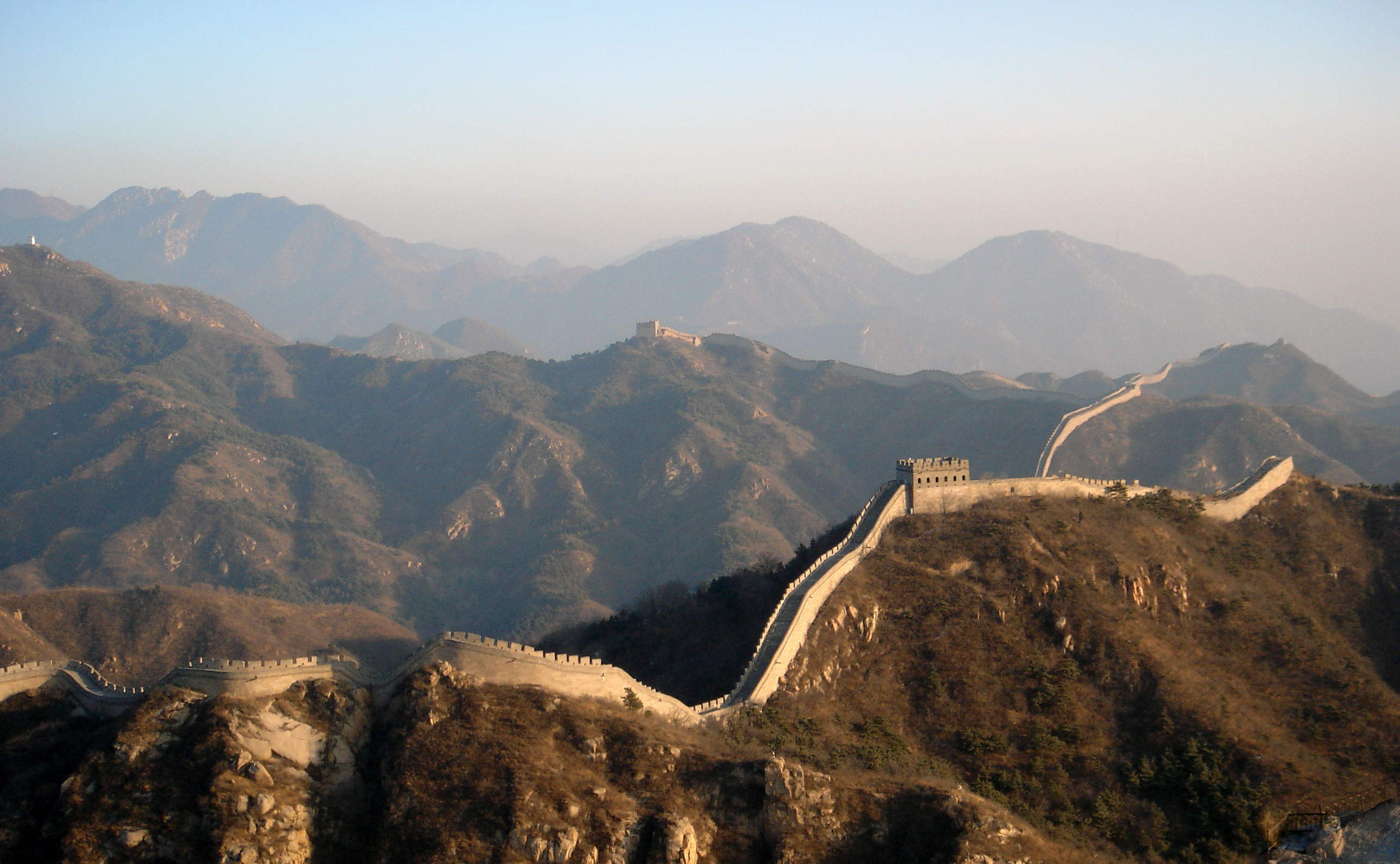
Kina - landet i midten
nt, 2.klasse
Kina - landet i midten
Mål og begreber
- Du skal lære om hvor Kina er
- Hvordan det er at leve i Kina
- At bruge et atlas
Introduktion
- Vi læser side 4 og 5
Kina i verden
Hvordan ser der ud?
- Vi læser side 6 og 7
Morgen gymnastik
Atlas opgaver
- Vi arbejder med opgave arkene
Copyright
© 2024 Mikkel Kristiansen. Dette værk er under en Creative Commons Navngivelse 4.0 International licens. Besøg http://creativecommons.org/licenses/by/4.0/ for at se en kopi af licensen. Eksternt materiale i form af linkede artikler, opgaver o.lign, se de respektive sider for deres ophavrettigheder.
By
Ssolbergj
(talk) - Own work
This W3C-unspecified
vector
image was created with
Inkscape.
Aquarius.geomar.de
The map has been created with the
Generic
Mapping Tools:
http://gmt.soest.hawaii.edu/
using one or more of these
public-domain
datasets for the relief: ETOPO2
(topography/bathymetry):
http://www.ngdc.noaa.gov/mgg/global/global.html
GLOBE
(topography):
http://www.ngdc.noaa.gov/mgg/topo/gltiles.html
SRTM
(topography):
http://www2.jpl.nasa.gov/srtm/
বাংলা |
English |
Français |
Italiano |
日本語 |
Македонски |
+/−
Permission is granted to copy, distribute and/or modify this document
under the terms of the
GNU
Free Documentation License, Version 1.2 or any later version
published by the
Free
Software Foundation; with no Invariant Sections, no Front-Cover
Texts, and no Back-Cover Texts. A copy of the license is included in the
section entitled
GNU
Free Documentation License.,
CC
BY-SA 4.0,
Link


